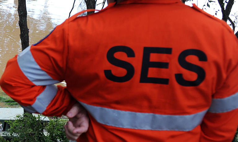
Emergency services are poised to carry out rescues as record-breaking downpours have soaked parts of southeast Queensland and northern New South Wales.
A trough extending south will bring more rain over much of central and eastern NSW after heavy falls lasting several days.
The Bureau of Meteorology’s Sarah Scully said a number of sites across southeast Queensland saw their wettest day on record for August in the 24 hours to 9am on Wednesday.
Parts of the Queensland coast, including Yeppoon, copped a battering overnight of more than 100mm in less than six hours.
Samuels Hill, northeast of Rockhampton, received 177mm fall, breaking the daily record for August.
Rockhampton also recorded its highest-ever August 24-hour total with 85mm of rain falling overnight.
In Brisbane, the deluge forced the postponement of Wednesday’s Grand Parade at the Royal Queensland Show, held each year on the People’s Day public holiday.
The Royal National Agricultural and Industrial Association of Queensland chief executive, Brendan Christou, said the showjumping competition had been cancelled and that the “difficult decision” had been made to shift the parade to Saturday.
The trough was expected to move farther offshore on Wednesday evening, taking much of the rainfall with it, the bureau’s Gabrielle Woodhouse said.
In NSW’s Northern Rivers, rainfall levels were “significantly less” than the flood-threatening levels that were predicted, she said.
Initial warnings of rainfalls of up to 100mm over the 24 hours from Wednesday morning were not likely to eventuate, with 10 to 30mm falling by late afternoon.
Another 10 to 20mm over the course of the rest of the 24 hours was possible between the NSW Tweed Coast and Coffs Harbour, she said.
Sydney’s “steady but light” showers were expected to clear overnight, with some showers expected on Thursday.
NSW State Emergency Service spokesperson, Andrew Edmunds, said an incident management team had been set up in Lismore to coordinate flood rescues.
Crews had already responded to 163 incidents and three flood rescues across the state within 48 hours.
Flood watches remain in place for the Tweed and Brunswick rivers.
Minor flood warnings are in place for the Wilsons and Orara rivers.
Many of the areas are still recovering from severe flooding that hit the region in early 2022.
The bulk of the wet weather system is expected to move on by Wednesday night with high humidity and widespread fog forecast across much of NSW for Thursday.
Friday and Saturday will bring more showers and storms, particularly in NSW’s southern inland areas, with potentially severe storms in the Riverina on Friday afternoon.


 Business11 months ago
 Politics8 months ago
 SportsNews10 months ago
 Politics10 months ago
 Trending3 months ago


